Georgia Depression
The whole Georgia Depression ecoprovince is in the small area of southeastern Vancouver Island, the Gulf Islands, and the Lower Mainland. It includes the territories of many First Nations including Semiahmoo, Tsleil-Waututh, Musqueam, Tsawwassen, T’Sou-ke, Esquimalt, Songhees, Saanich and Coquitlam.
Most of this area is in a rainshadow because it is sheltered from precipitation by the mountains on Vancouver Island and the mountains on the Olympic Peninsula in Washington. This means the region gets less rain than areas outside the rainshadow (especially compared to the Coast and Mountains ecoprovince). The climate is not too hot in the summer and not too cold in the winter.
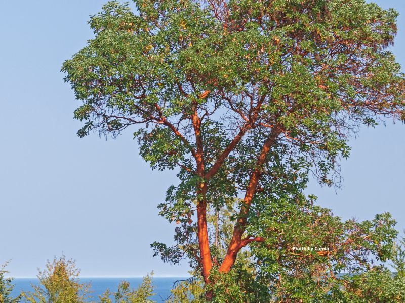
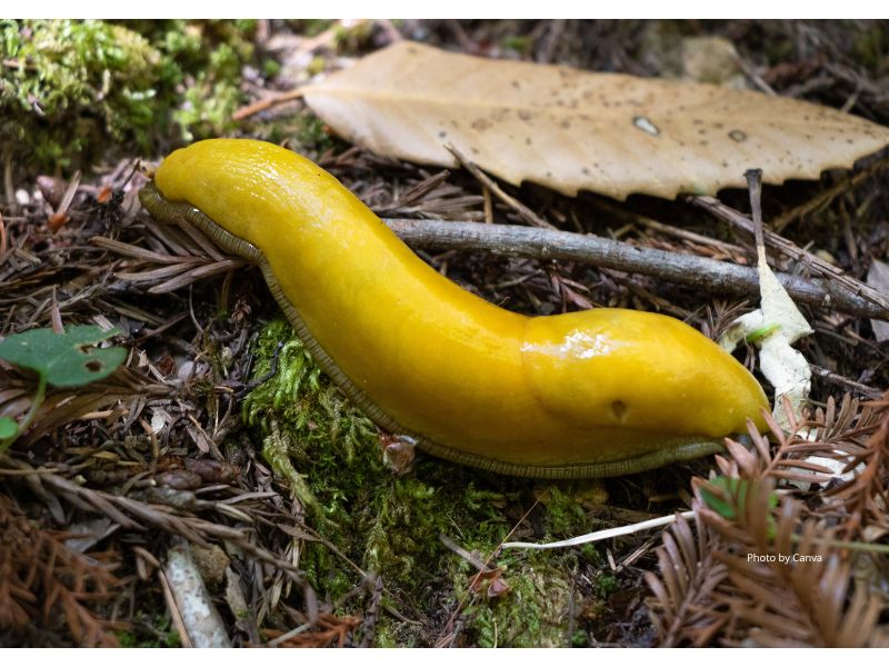
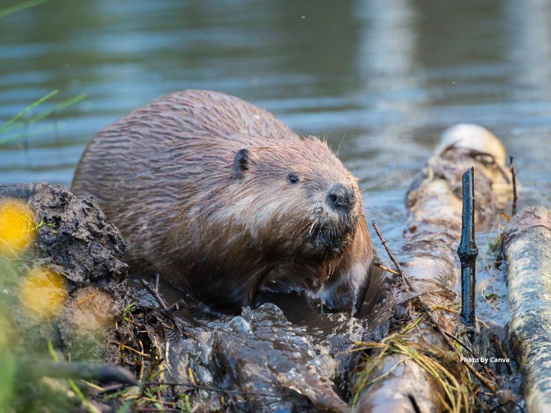
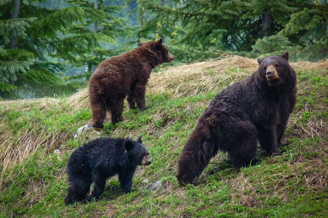
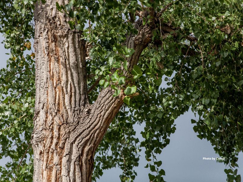
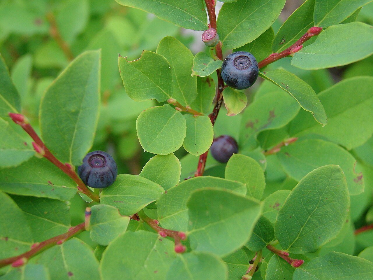
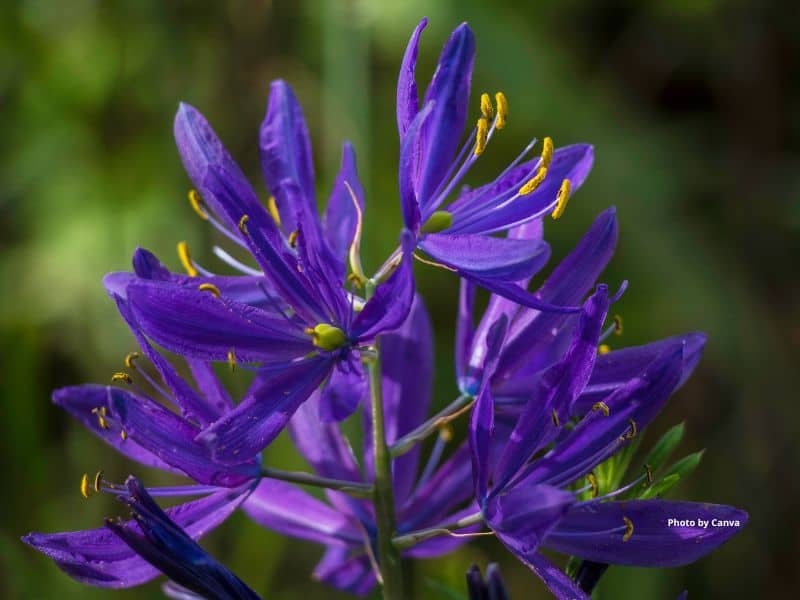
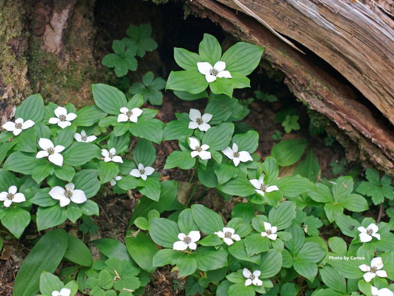
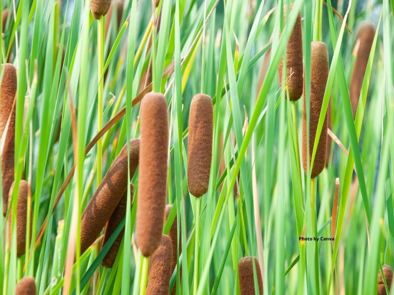
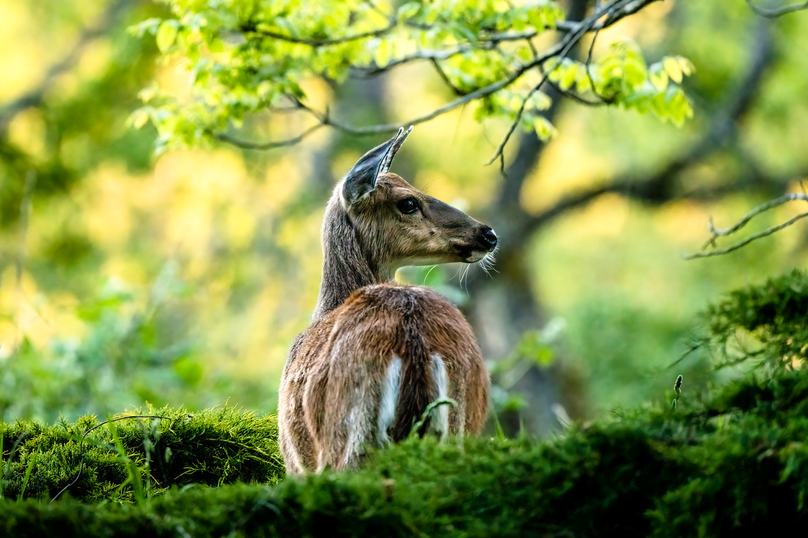
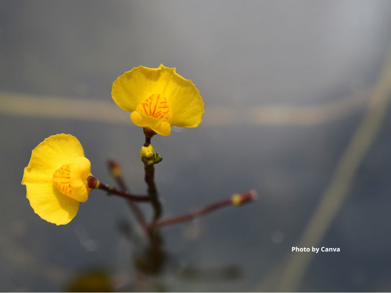
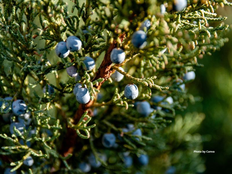
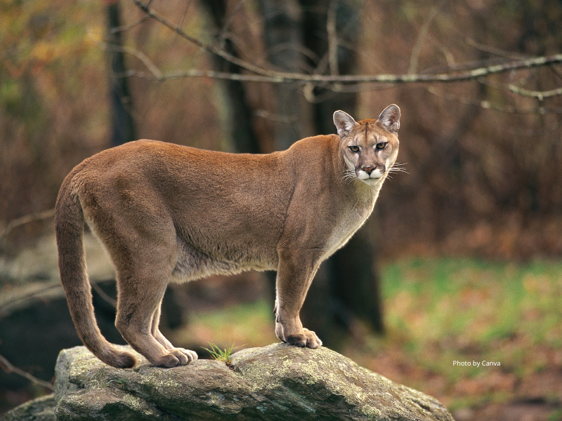
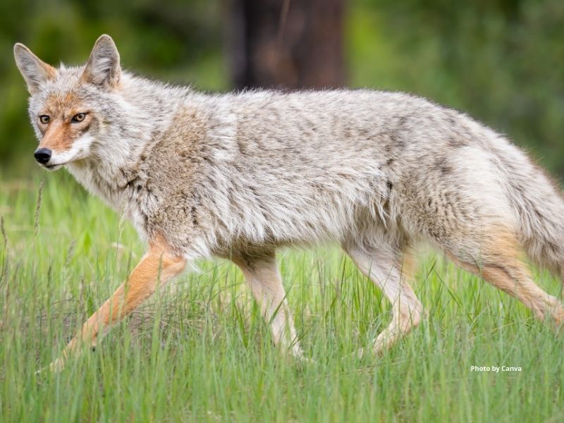
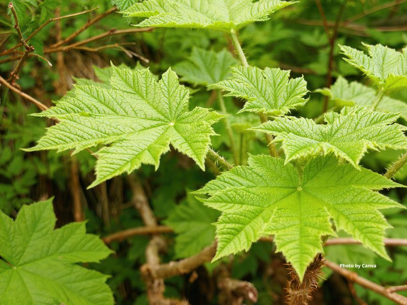
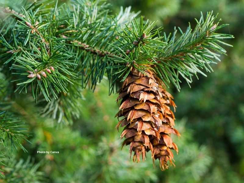
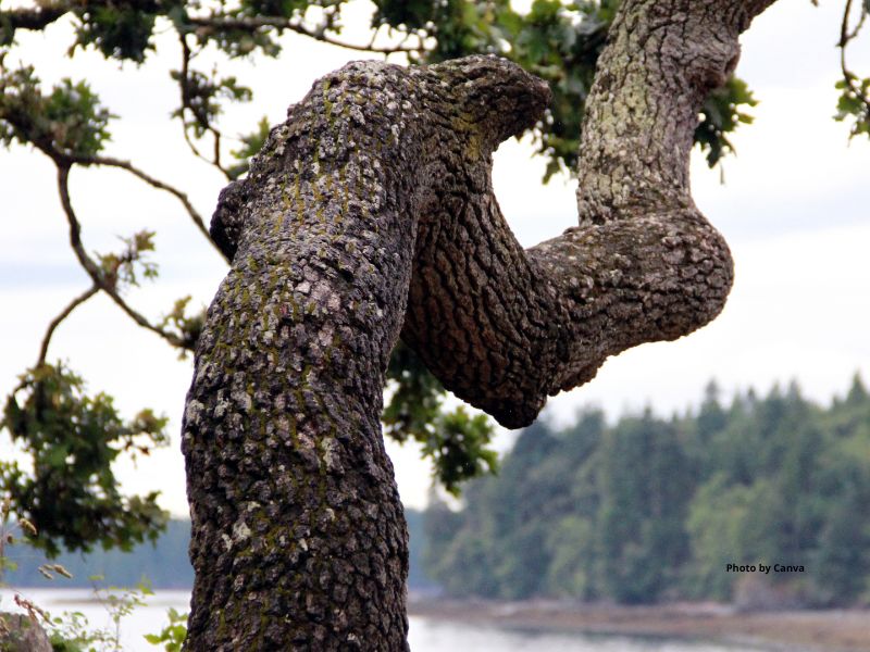
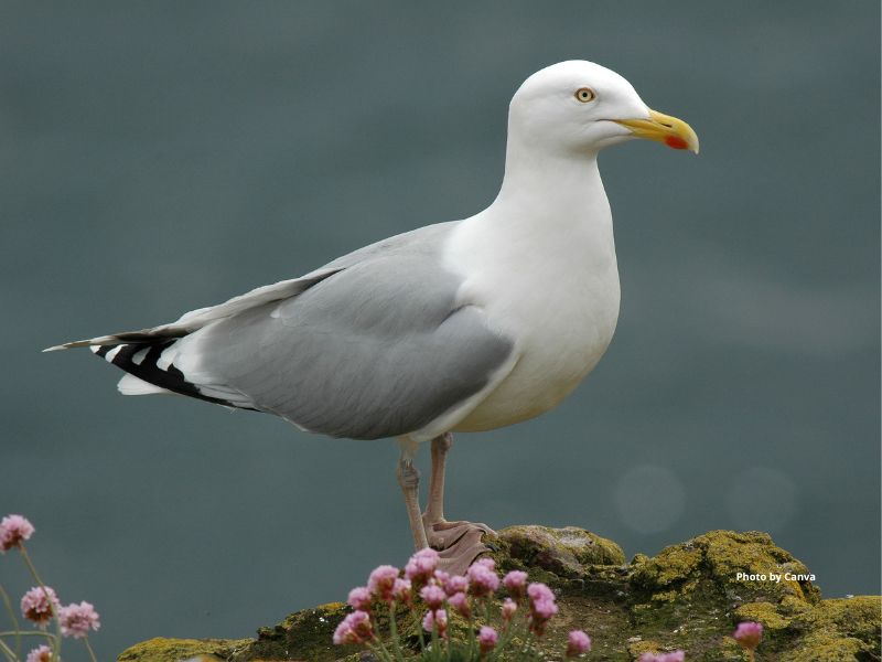
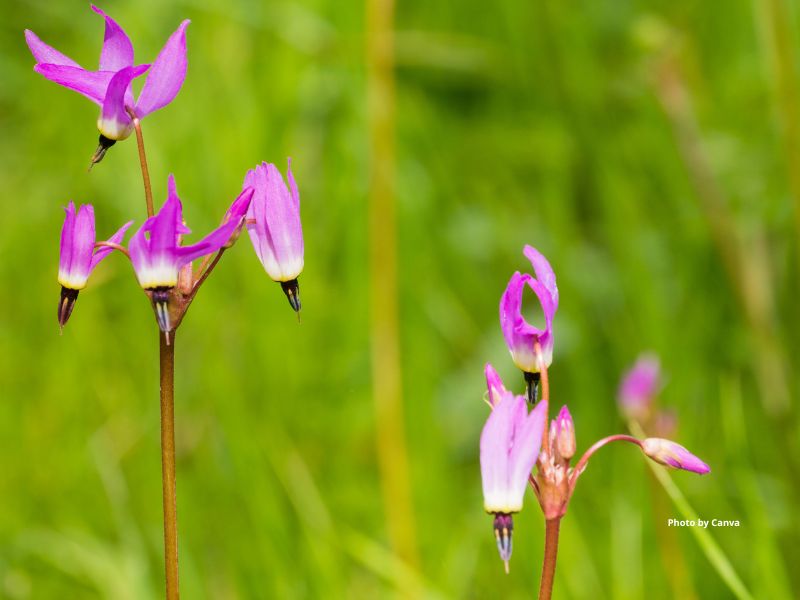
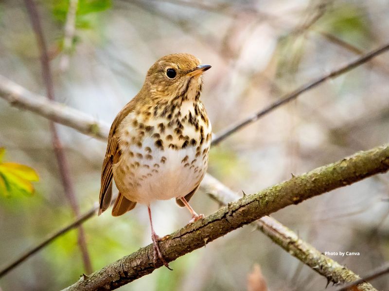
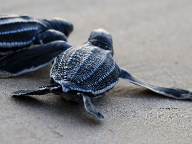
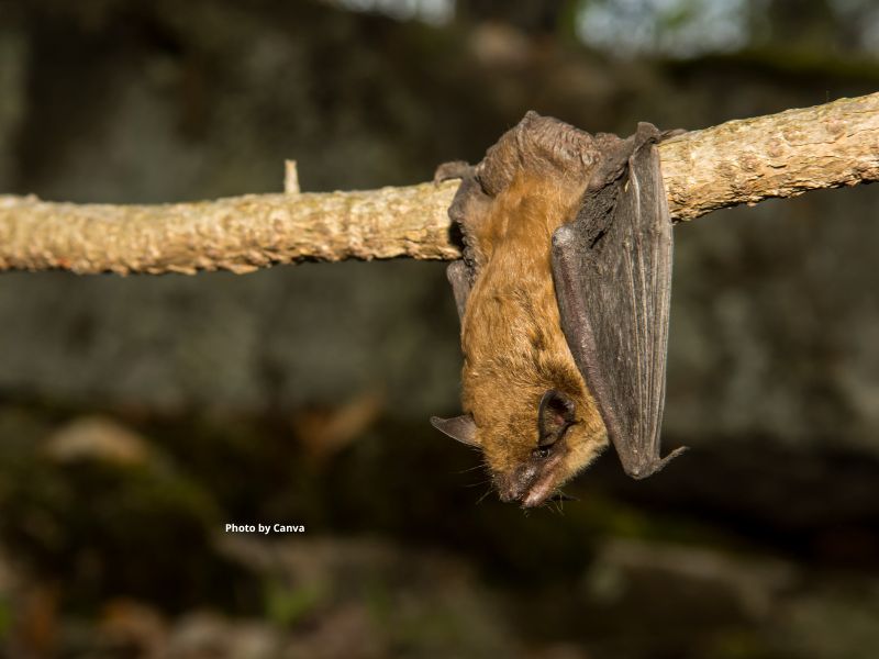
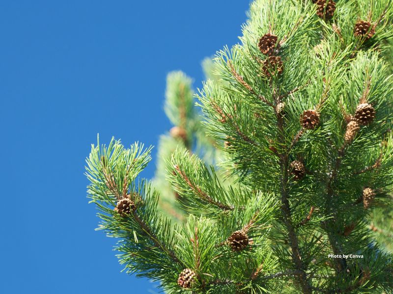
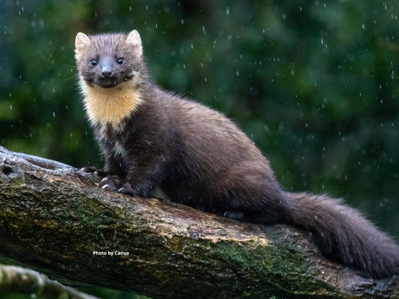
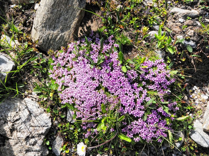
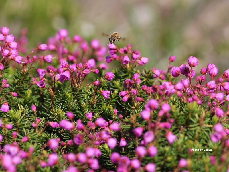
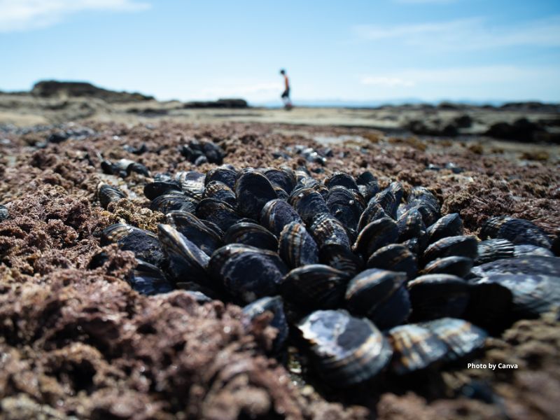
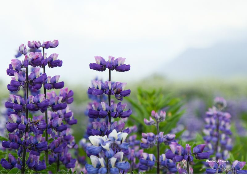
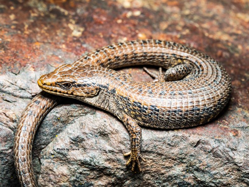
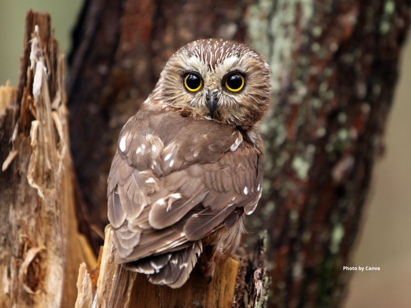
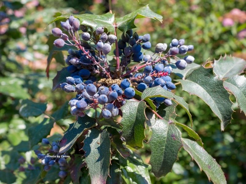
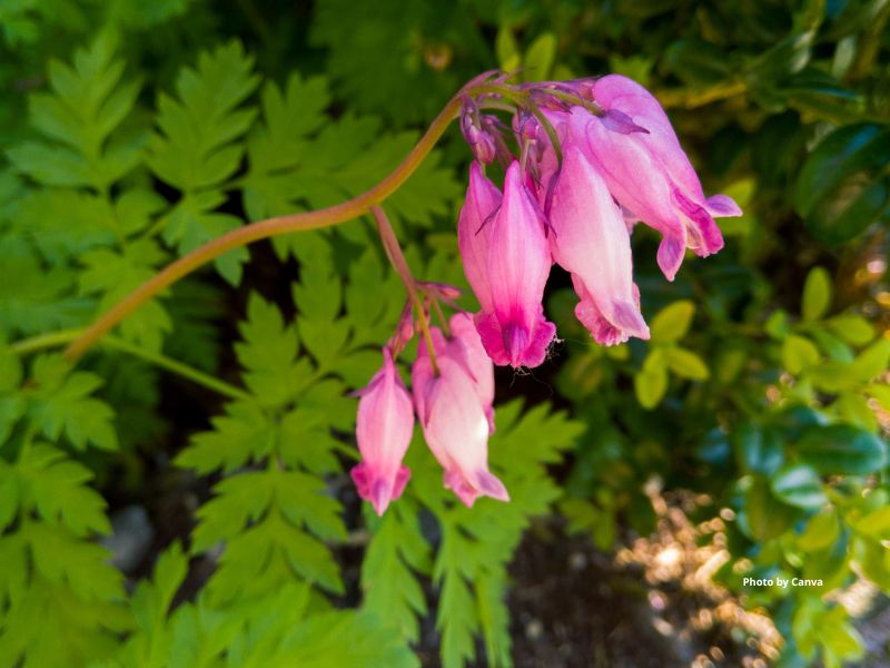
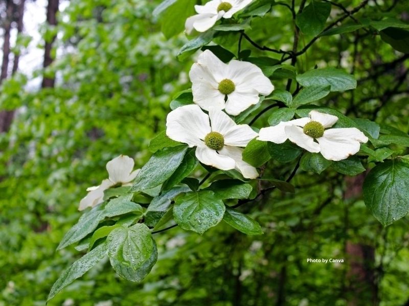
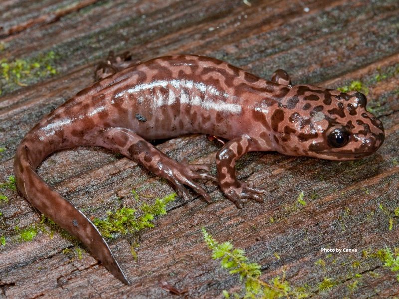
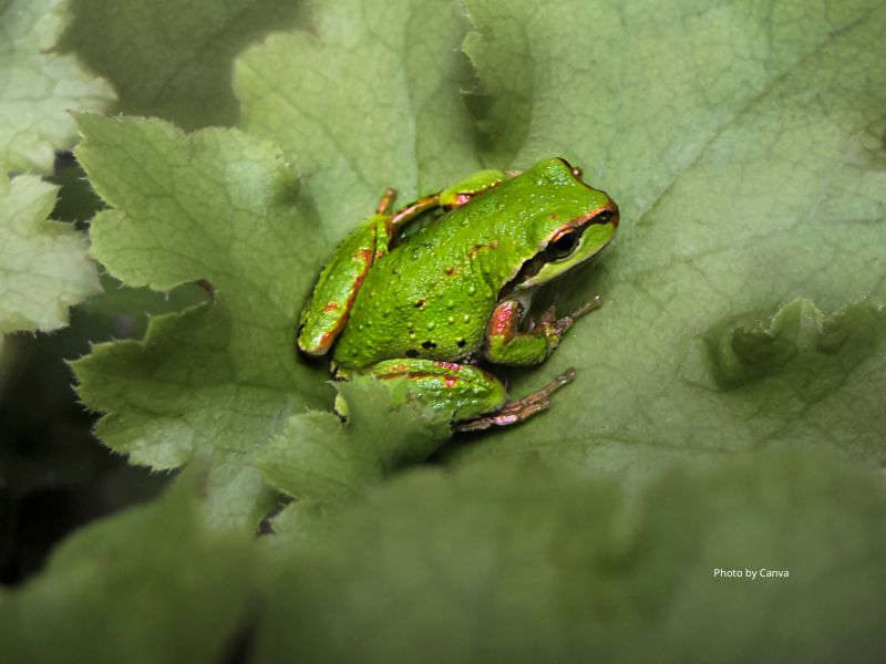
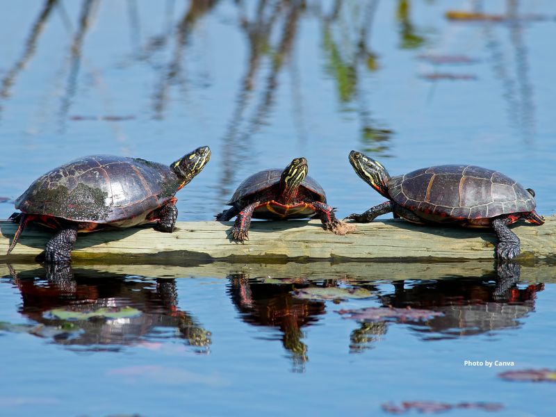
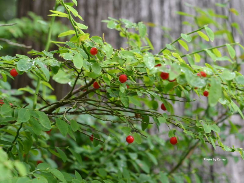
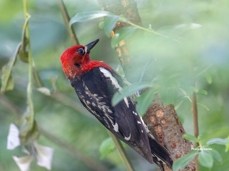
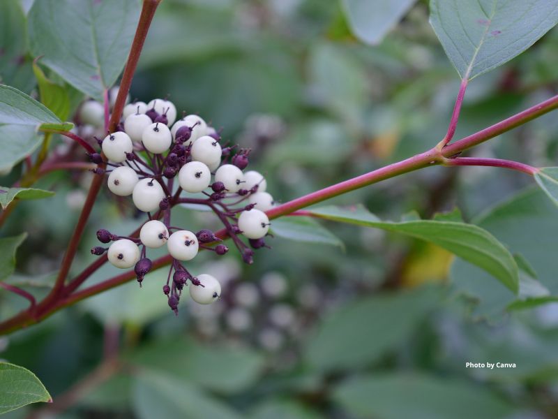
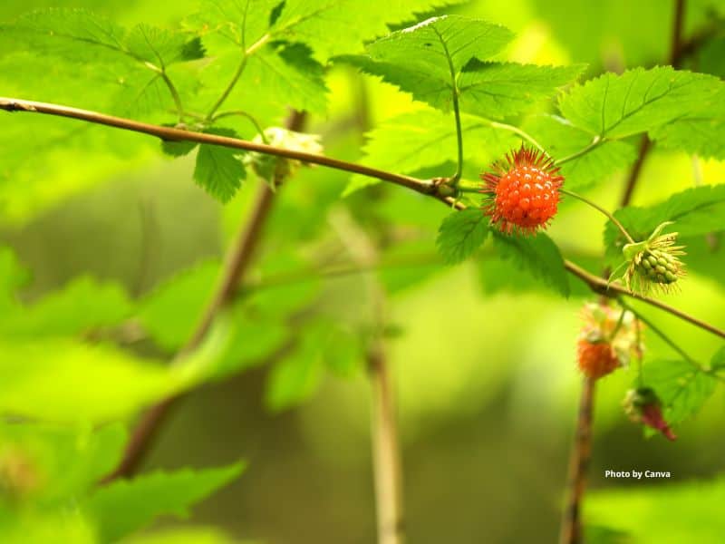
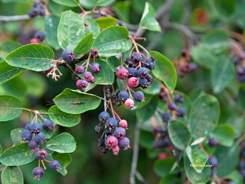
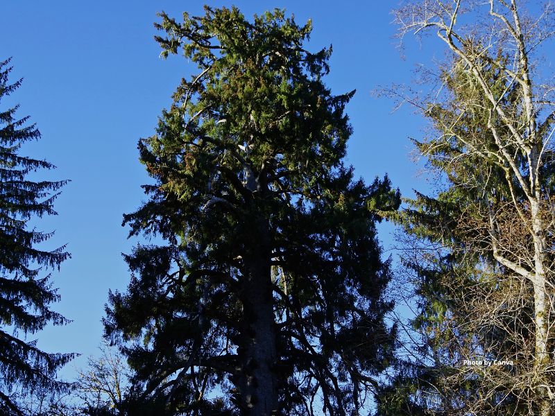
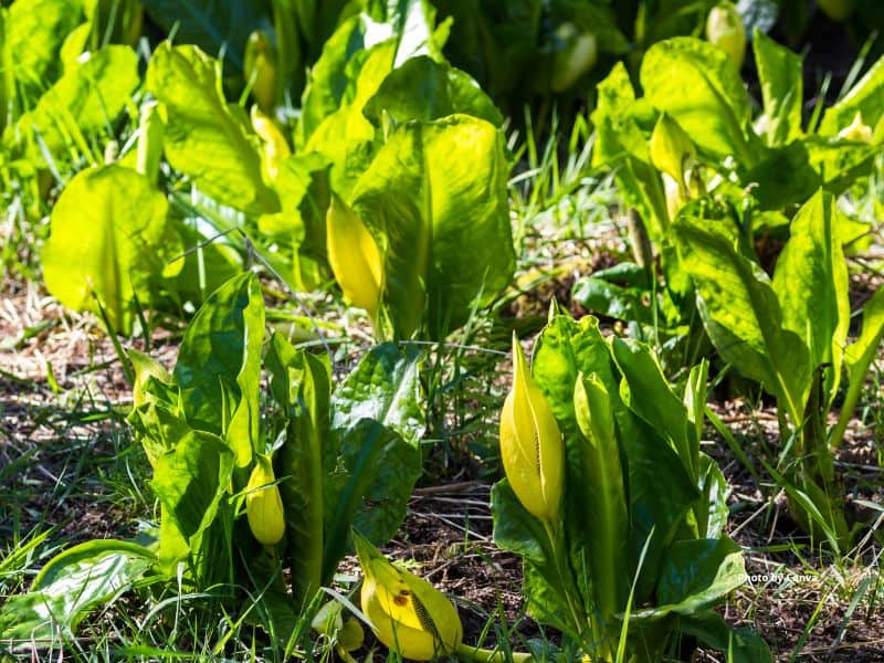
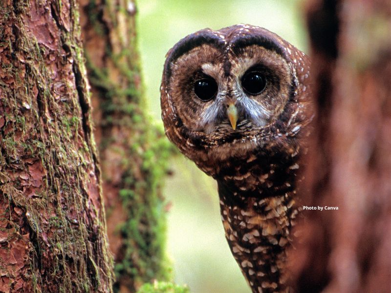
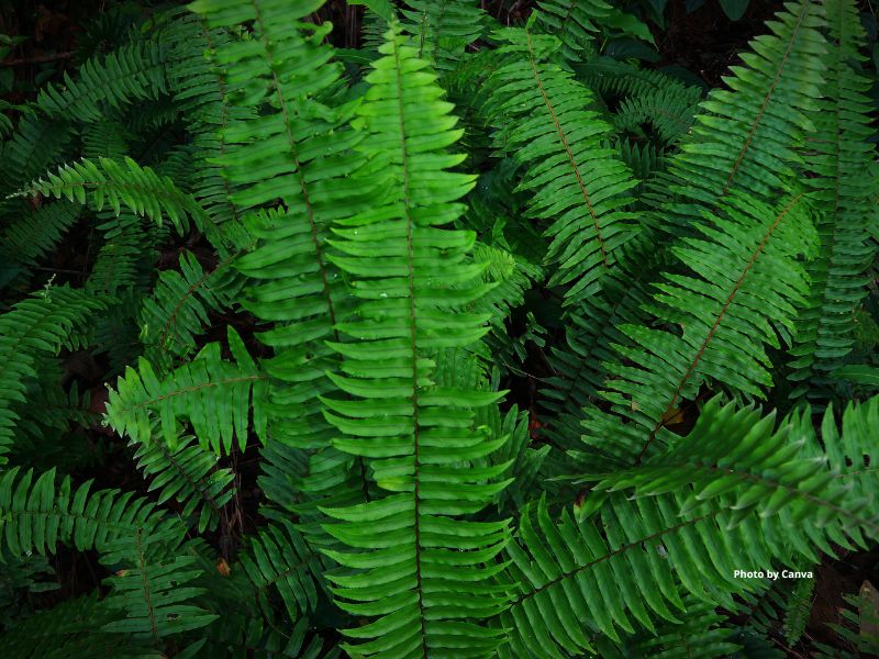
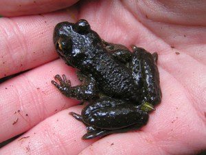
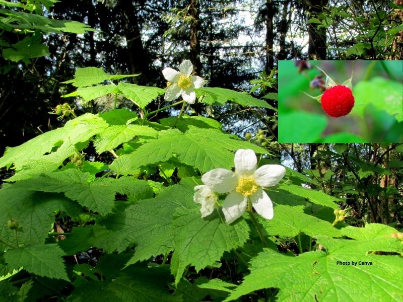
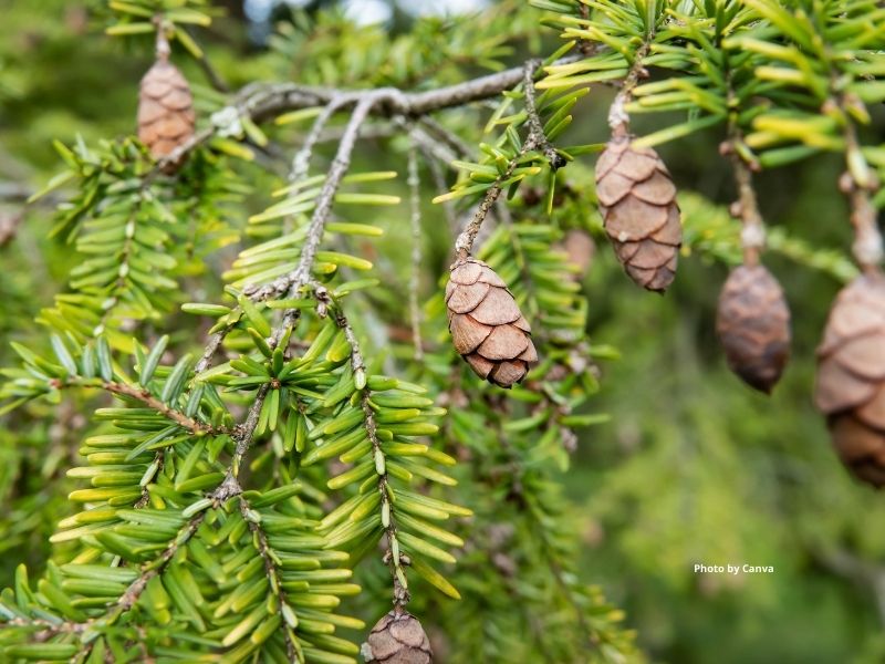
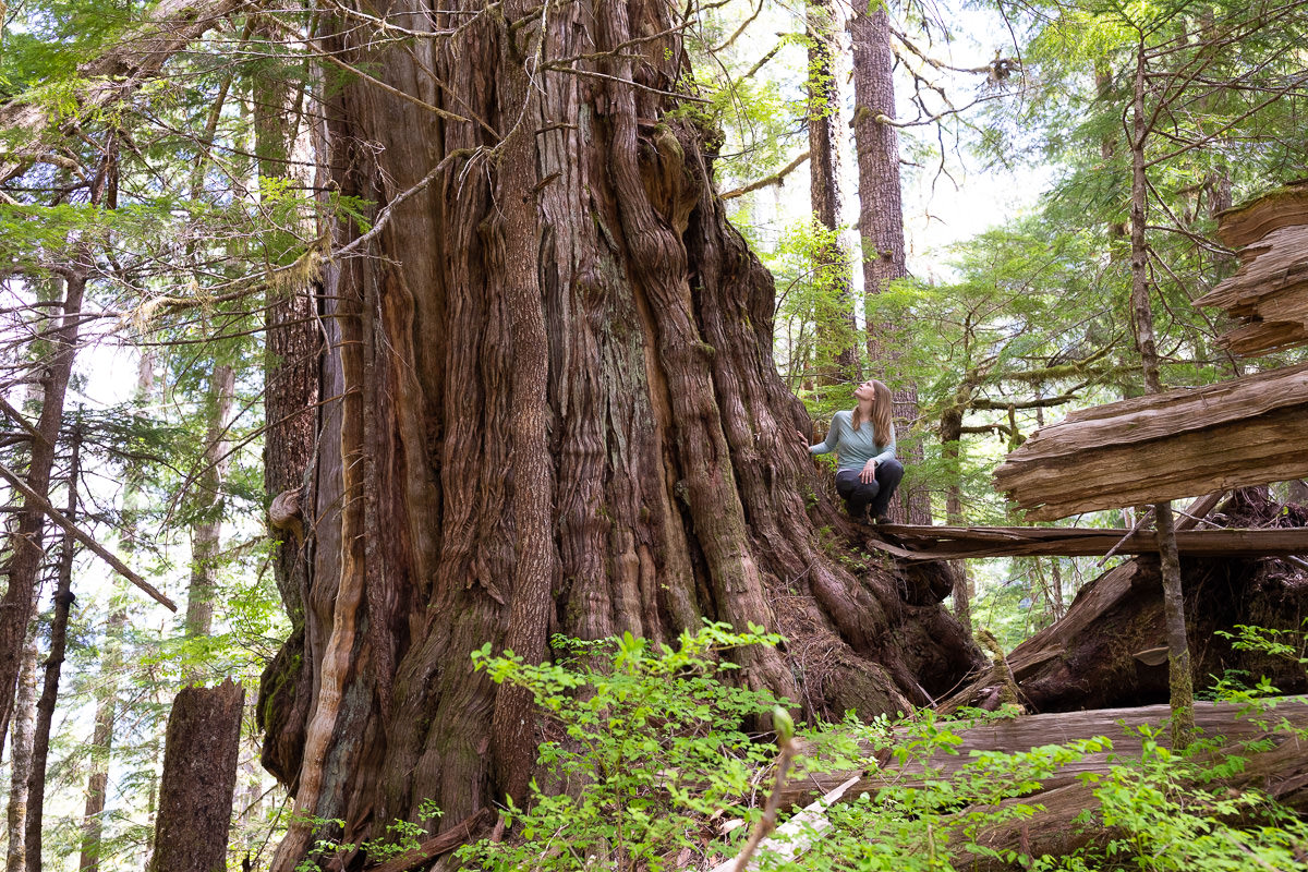
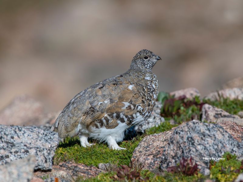
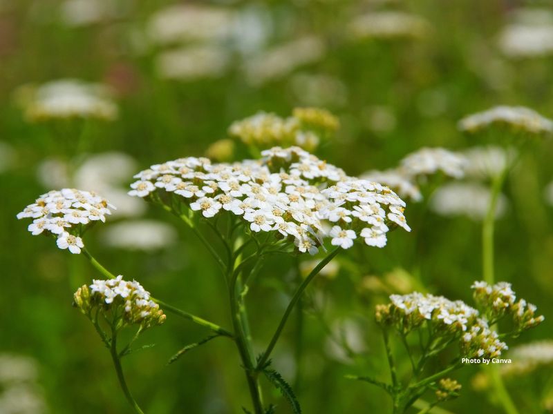
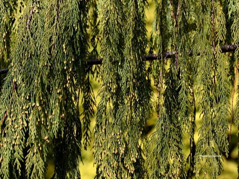
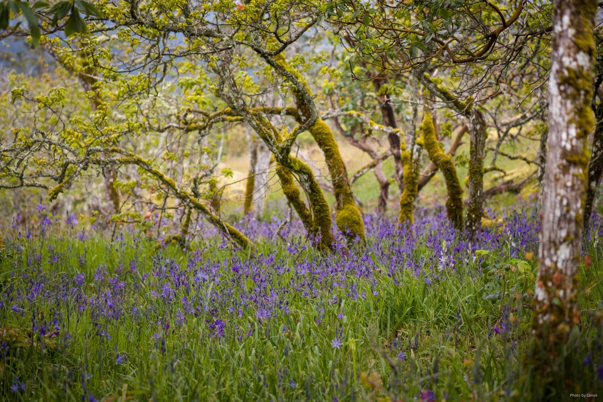
Much of the area is dry, flat and low elevation. It has unique plant and animal habitats. For example, this ecoprovince is the only place in B.C. where Garry Oak trees and meadows can be found. It is also where coastal Douglas-fir forests, and the many plants and animals that only inhabit these forests, are found.
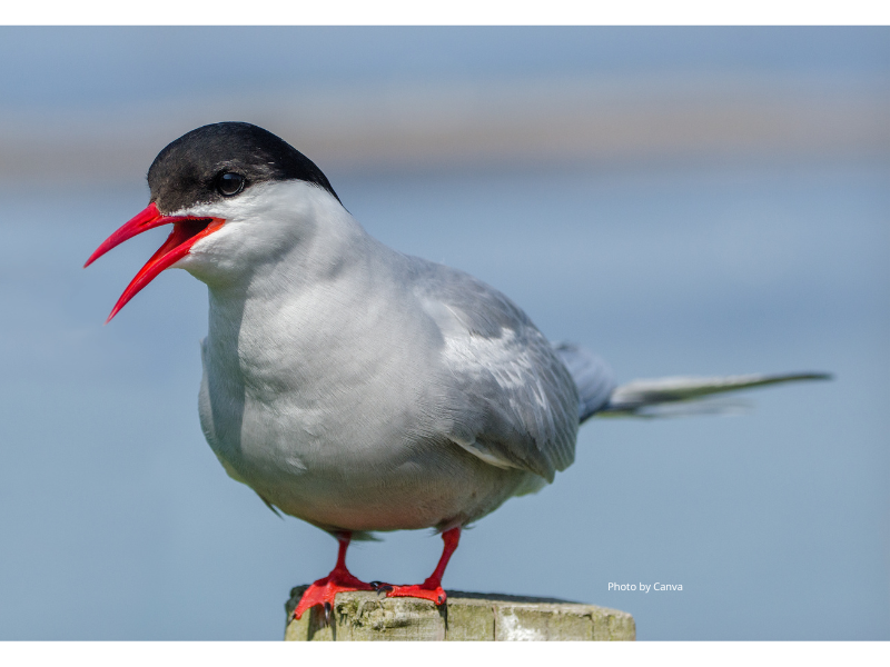
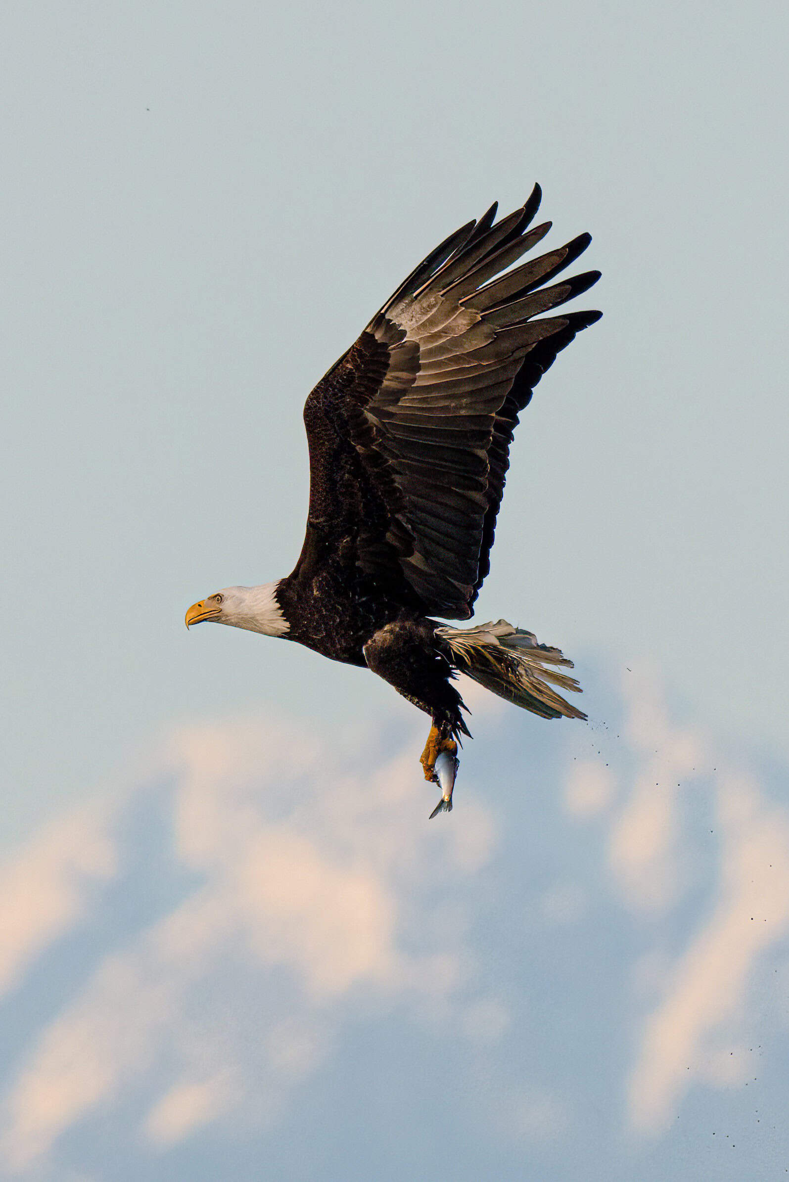
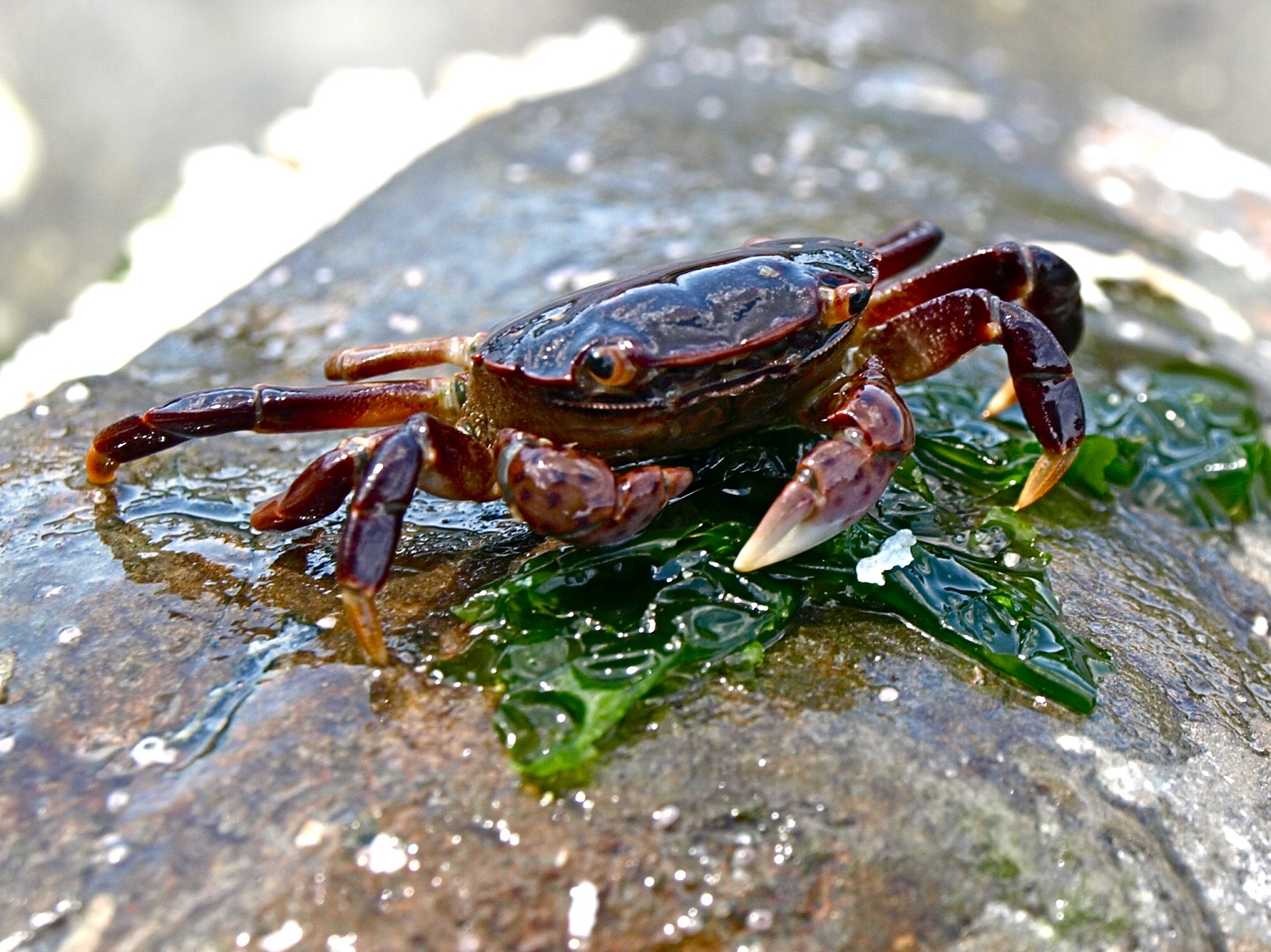
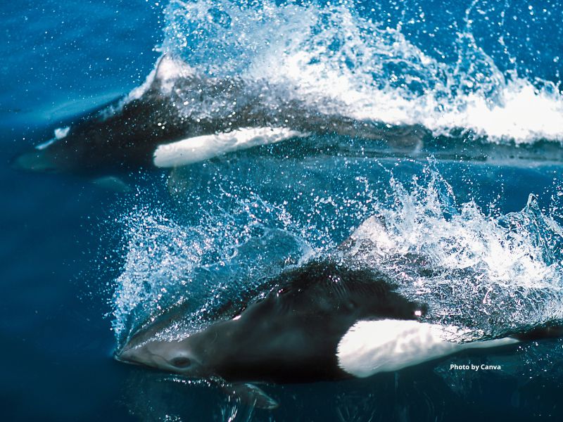
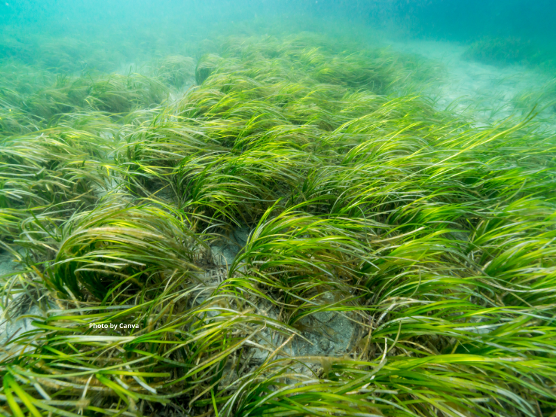
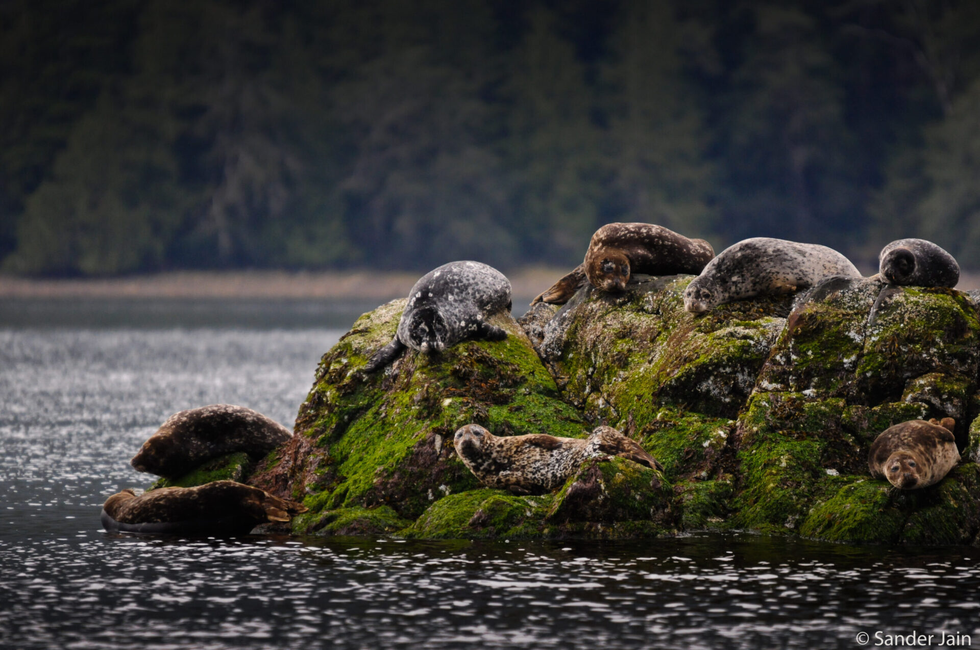
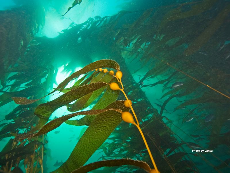
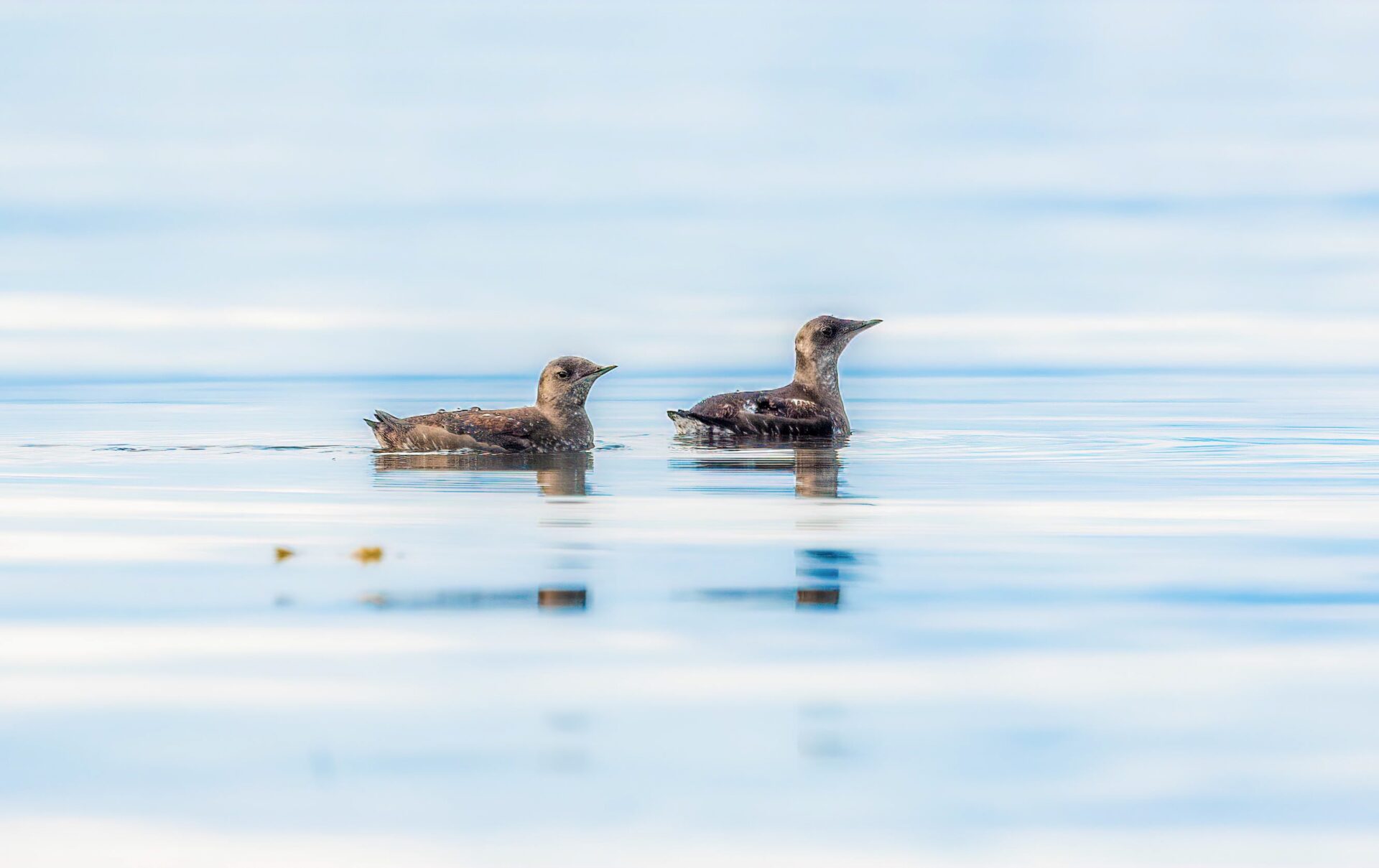
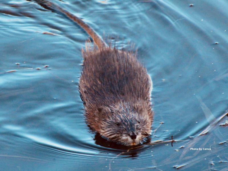
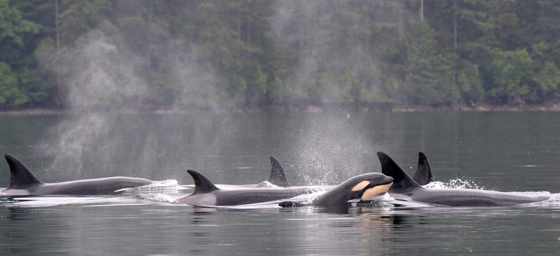
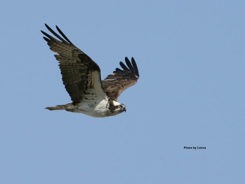
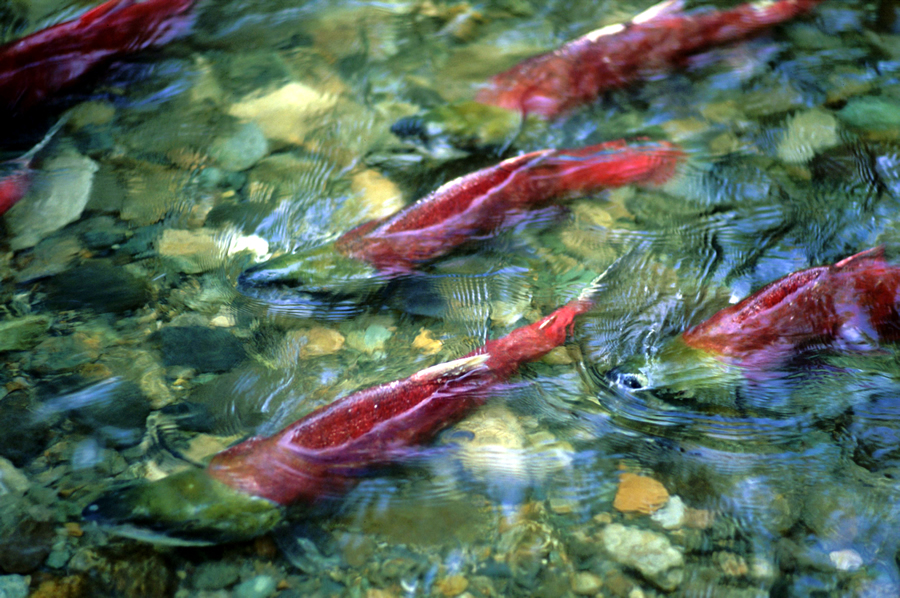
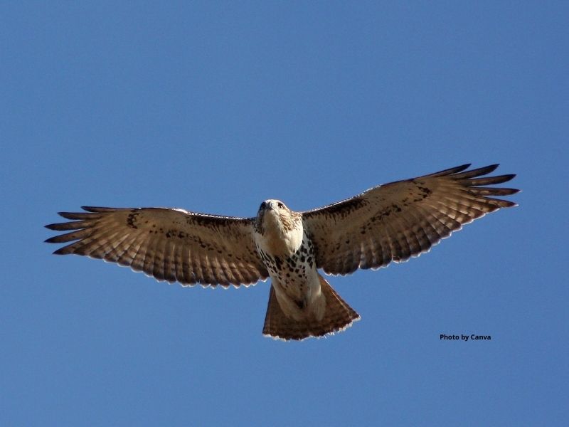
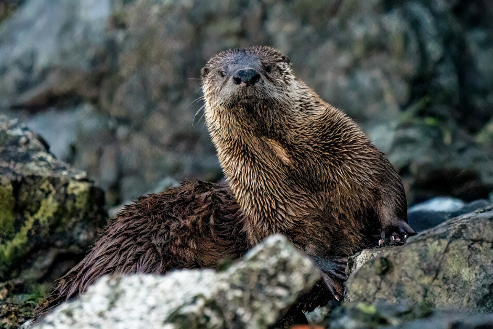
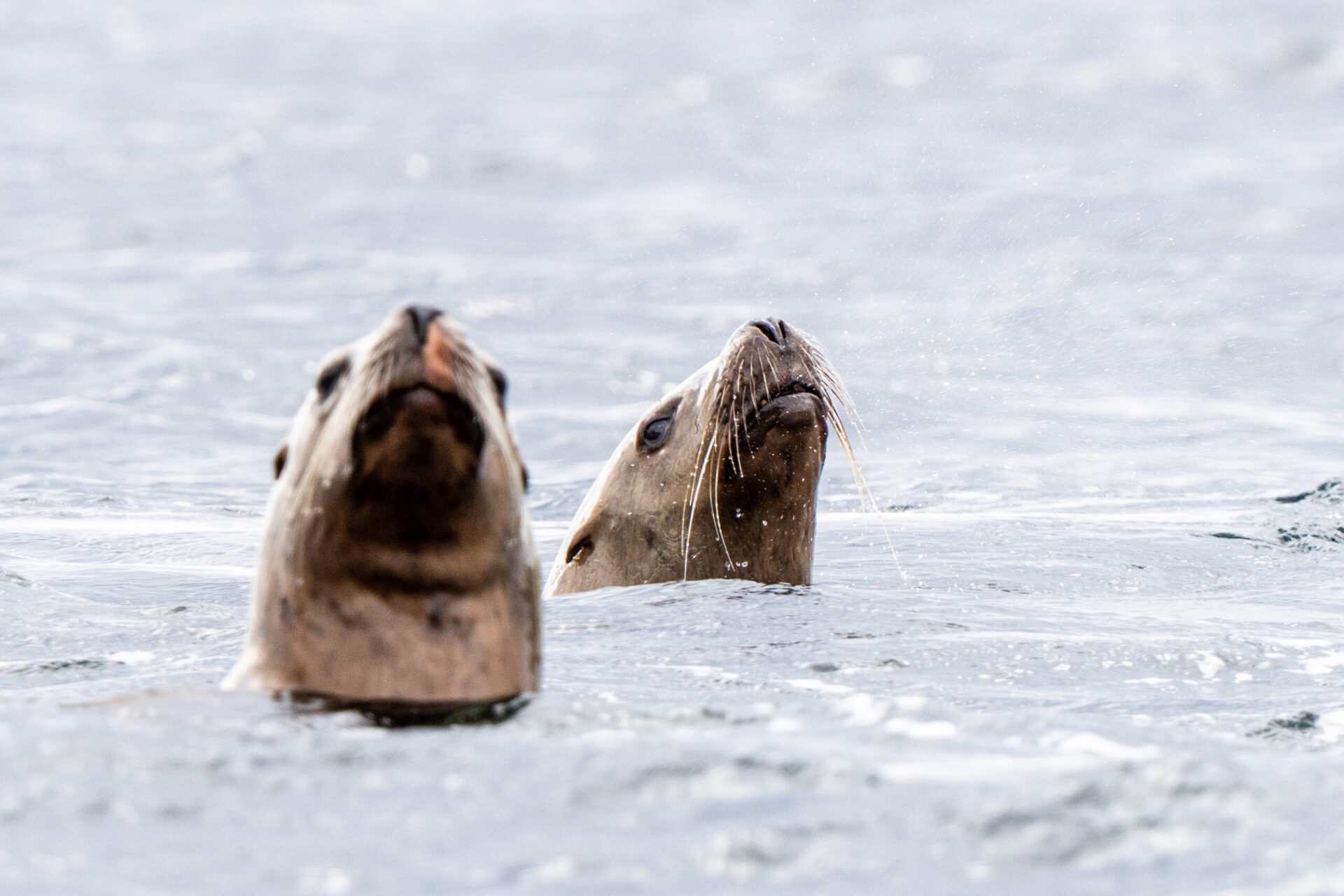
The Trans Mountain Pipeline carries diluted bitumen from Alberta and ends at the Strait of Georgia, at the heart of the Georgia Depression ecoprovince. An oil spill here would harm the habitat of many species like orcas, Dall’s porpoise and the hundreds of thousands of people that live along the coast. To learn more about how you can speak up on this issue, check out our biodiversity and climate action campaign pages.